


Grand Canyon VFR Aeronautical Chart
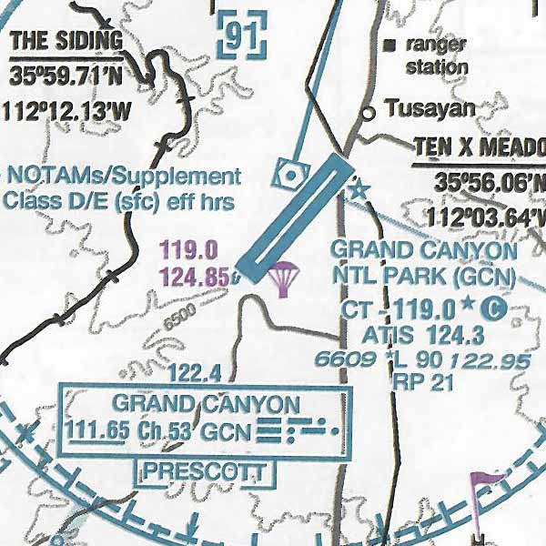
Grand Canyon VFR Aeronautical Chart covers the Grand Canyon National Park area and is designed to promote aviation safety and facilitate VFR navigation in this popular flight area. The chart contains aeronautical information for the general aviation VFR pilots on the front side, and commercial VFR air tour operations on the backside. Special features on both sides include:
- Special Flight Rules Area (SFAR) which apply to all aircraft operations below 14,500 feet MSL
- Five Flight Free Zones where all aircraft operations are prohibited below 14,500 feet MSL
- Corridors between Flight Free Zones where operations below 14,500 feet MSL are permitted
- Special air-to-air communication frequencies and altimeter procedures
- Numerous VFR checkpoints for ease of location identification
The backside, for use only by commercial air tour operators operating under specific authorization of the FAA, depicts color-coded, fixed-wing and rotary-wing routes and altitudes updated as requested by the FAA, 45 x 20 inches folded to 5 x 10 inches. This chart is updated every 56 days.
See Aeronautical Charts FAQ for details on expiration dates and other helpful information.
Use collapsible tabs for more detailed information that will help customers make a purchasing decision.
Ex: Shipping and return policies, size guides, and other common questions.